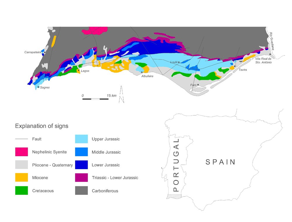
This geological map of the Algarve basin (sources: Rosendahl, 1985, Lopes, 2006) shows the distribution of different rock types and their ages, as well as geologic structures such as faults and folds. The three main landscape units of the Algarve (Serra, Barrocal and Litoral) reflect the geological substructure of this region.
In the geological map we can distinguish in the north the oldest rock formation of Algarve, represented by slightly metamorphic Palaeozoic schists and greywackes (Carboniferous, about 315-306 million years ago), which build up the Algarvian “Serra”.
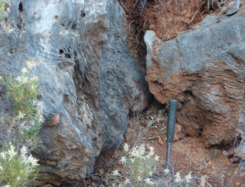
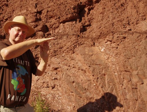
More to the south, there is a relatively narrow strip of Mesozoic red sandstones, clays and volcanic rocks (Upper Triassic-Lower Jurassic, about 235-197 million years ago), which separates the Serra from the “Barrocal” region.
The “Barrocal” consists of limestone and marls which were deposited mainly during the Mesozoic Jurassic period (about 197-145 million years ago).
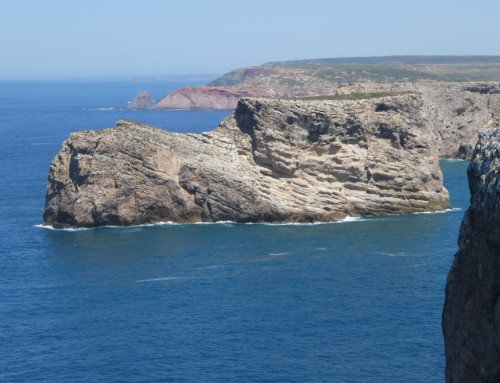
Finally, Cretaceous (about 145-93 million years ago) and younger (Miocene, Pliocene and Quaternary; about 16-0,01 million years ago) deposits in the Algarve are found in the “Litoral” area, which is built up by limestone, as well as sandy and clay sediments.
Furthermore, in the Serra there is the massive of Monchique, a complex of magmatic nephelinic syenite, which was formed during the Upper Cretaceous period (about 72 million years ago).